

As a boy I was fascinated with the stories about the Lewis and Clark expedition. Now that was a road trip, wasn’t it? I would have loved to be part of it, and I’ll bet many of you would, too. (Of course, the road was a series of rivers.) Consider its objectives: First, to explore a huge geographic area we’d just bought by fleecing Napoleon’s silk underwear. Next, figure out what was out there and how this brash young country would use it to guide the future. The route was to head upstream until there wasn’t any more upstream, then go downstream to the Pacific Ocean. Just think: 5,000 miles with no toilet paper! Or McDonalds!
Contrast that with a road trip I took to the Pacific Northwest last October. I had a relatively new automobile with some of the latest in safety equipment. I had a high-end Garmin portable GPS system. If that wasn’t enough, I had an iPhone with a digital assistant named Siri to keep me from getting lost. And, of course, I had mobile-enabled Yelp reviews, Google Street Views of any part of my route, and so on. These are all technologies I couldn’t have even imagined not that long ago (at least it seems not that long). But I also had a full portfolio of AAA road maps – that same kind that have been around for generations.
Which raises an interesting question: Are road maps obsolete? You’d think they would be. And you’d be wrong. In a survey reported on Yahoo, paper maps were still the top-ranked navigation aid. Their usage has somewhat declined, but they’re a long way from going the route of the cassette player and the manual typewriter.
So what’s in your glovebox?
There’s no standard packing list for navigation equipment. I’ll bet you have all the technology I mentioned above, and maybe more. The items most useful to you will differ from someone else’s list. Even though I use a portable Garmin, I prefer the built-in touch-screen model that comes with the car (for a rather large premium price, of course).
For me, the paper maps are the easiest tool for pre-trip planning, as well as for periodic checks of my bearings as I travel. The GPS is best for helping me find a specific address or landmark. Some people use them constantly, but I don’t like having the voice prompts competing with the music I typically play. My GPS has also directed me down primitive dirt roads, road closures and streets that don’t exist. The iPhone is great when I’m lost or when I don’t know specifically where I’m headed. For example, once, in Twin Falls, Idaho, I contacted Siri and asked her where the best Mexican restaurant was. She responded with the restaurant’s contact information and a map showing how to get there. If I’d wanted, she could have provided turn-by-turn navigation. I find the iPhone more consistently accurate than the GPS. Downside of the iPhone is that service availability is the worst of the navigation devices.
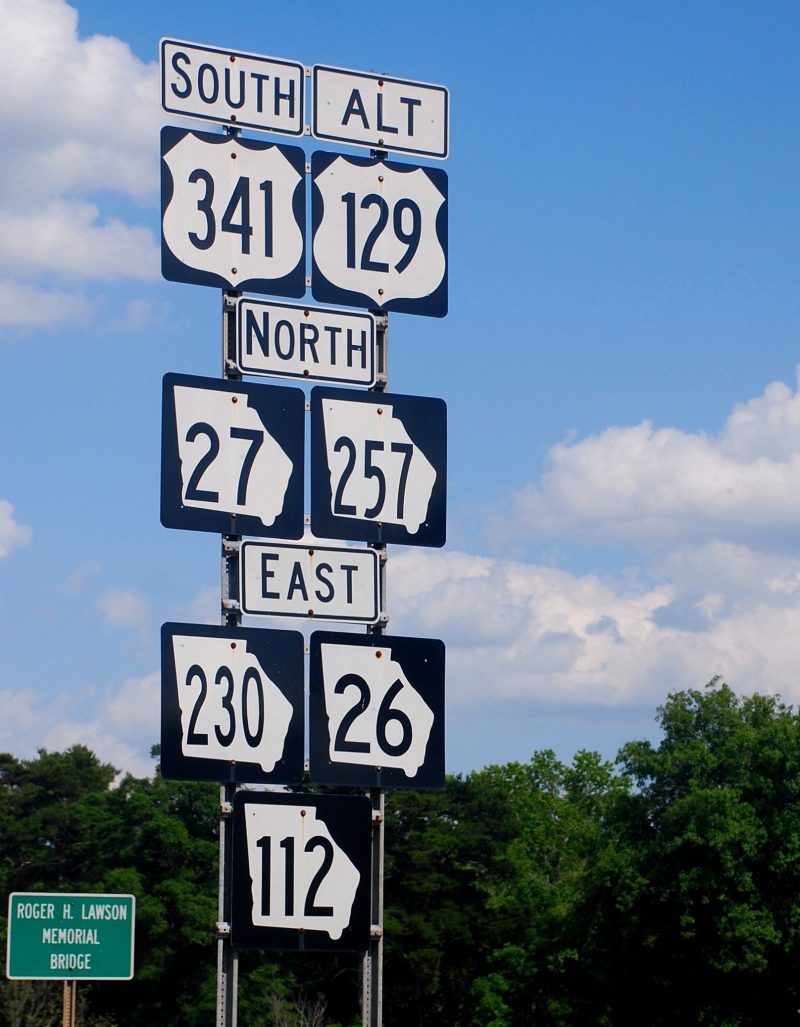
What about road signs? Most U.S. and Canadian roads are well-signed, with one exception – New Jersey. Unless you stay on the turnpike, you will get lost there.
Here’s an interesting development. AAA now packages its venerable maps, TourBook guides and Triptiks into a mobile app. Rand McNally has apps specifically for smart phones and iPads, including content specifically for RVers.
My advice to you is to take and use whatever you’re most comfortable with.
Use the comments button if you have some wisdom to share on this topic.