

Welcome to Lava Beds National Monument!
If you enjoy volcanic geology or exploring lava caves, this is the place for you. It’s here in California – but barely. In fact, it’s just about as far as you can go from California’s major population centers without leaving the Golden State. To find a motel room or fill your gas tank, you’ll probably have to go to Klamath Falls, Oregon.
This remoteness is a signature feature of the monument and a primary reason annual visitation last year was a paltry 135,000. You have to make concessions to the remoteness to make the most of your visit.
Here’s a short YouTube introduction to Lava Beds National Monument: www.youtube.com/watch?v=9nqKF-sTAAA
Bring your own lunch
This is a relatively short post. However, it’s rich in content, thanks to the monument’s excellent web site – www.nps.gov/labe.
Typically, two types of visitors come to Lava Beds. First is the casual road-tripper who passes through on the way to somewhere else. The monument is a convenient stopover between, say, Crater Lake and Lake Tahoe. These vacationers typically stay 2-3 hours, drive to the visitor center and visit one very accessible cave.

Disappointed by the lack of spectacular mountain scenery and the lack of places to get lunch, they take off down the highway.
Lava Beds is the primary destination for the other type of visitor. That person is very likely a caving enthusiast who is here to explore. These individuals will stay overnight and perhaps for several days. They are well-prepared and unfazed by the lack of visitor services. Indeed, the remoteness is part of the attraction.
Here’s an example of an enthusiastic caver: www.youtube.com/watch?v=4j-lsopeByQ
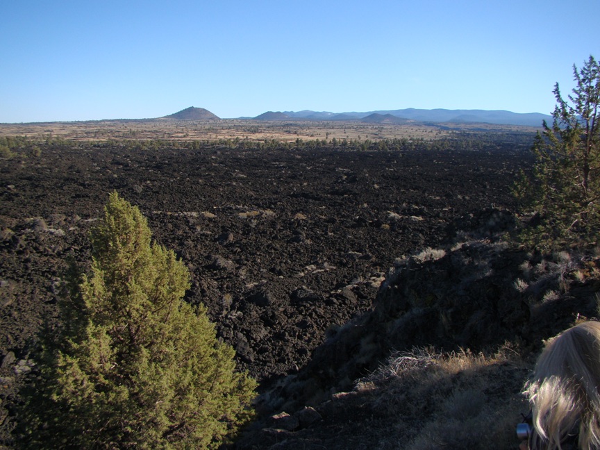
The landscape is varied but certainly not mountainous countryside. Look closely, and you’ll find a sea of mostly jagged lava that’s dark gray to brown to black in color. What you’re seeing – and I’m cribbing heavily from the monument’s geology brochure – are lava features resulting from many eruptions of the Medicine Lake shield volcano – by far the largest volcano in the Cascade Range. Lava rose to the surface via nearly 200 surface vents. This same process is occurring now at Kilauea Volcano on Hawaii’s Big Island. In contrast are what’s called stratovolcanoes with a single vent, like Mt. Shasta or Mt. St. Helens.
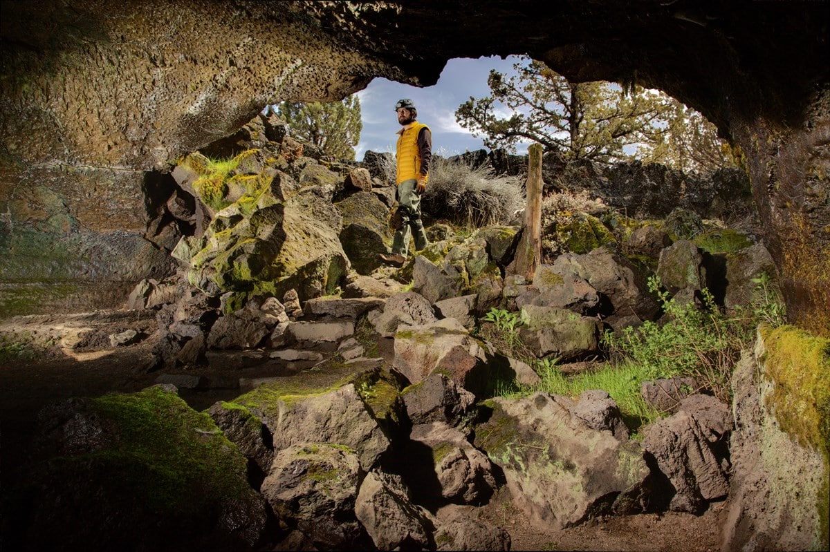
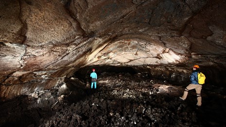
700 caves
Among the features left behind are over 700 lava caves. The short video shows how the process works, using Kilauea as an example: www.nps.gov/havo/learn/photosmultimedia/lava-tube-formation.
Since the monument web site is so good, I’ll now focus on the first two drop-downs, (Plan Your Visit and Learn About the Park calling your attention to a few things: Under Basic Information, note the hours and entrance fees. Monument, caves and campground open daily. Visitor center hours change seasonally. Entry $20 for cars, $15 for motorcycles. Scroll down to find a collection of brochures.
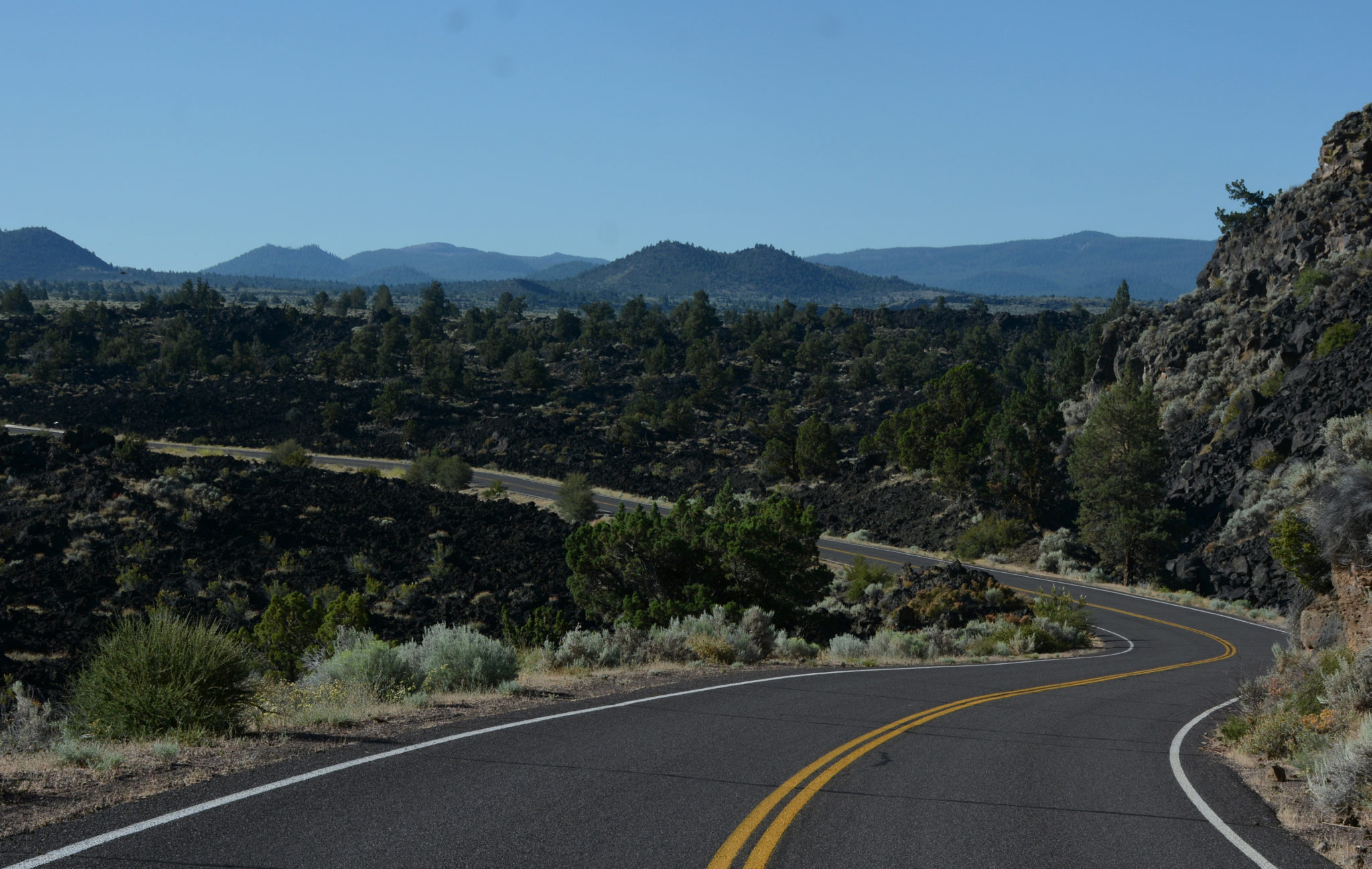
The directions can be complicated; click on Directions for a good set. The Maps button will take you to a map of the campground, the short paved Cave Loop Rd. and the monument itself.
Stay in Klamath Falls
Eating and sleeping: Need a motel room? Drive the few extra miles, and stay in Klamath Falls. Gas up while there, and buy any other supplies you might need while in the monument. Under this heading is a link to details on Lava Beds’ campground ($10 per night, rarely fills up).
Things to do: Click on Caving, then access the caving brochure. It has a list of caves, along with the caving rules and the equipment you’ll need. NOTE: If you’re a casual visitor, I suggest Mushpot Cave near the visitor center. It has artificial lighting and informational exhibits. NOTE: You must first stop in at the visitor center before entering any cave.
Click on Hiking for a list of trails, including directions, description and difficulty. Carry water; there’s no surface water in the monument. Most hiking trails are short.
Lastly, use the Calendar drop-down to check availability of summer-only ranger-led programs.
Thanks for joining me. Next week, when we visit Solvang, Calif., we can make virtual pigs of ourselves on Danish pastries.