This week we’re taking you on a mile-by-mile trip on the Peter Norbeck Scenic Byway in South Dakota’s Black Hills.
You’ll enjoy this trip. It’s relatively short and can easily be done in half a day – even with the optional side route. This is one of the most scenic routes in the Midwest and probably one of the two or three best places anywhere for viewing wildlife from the comfort of your vehicle.
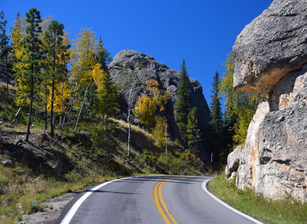
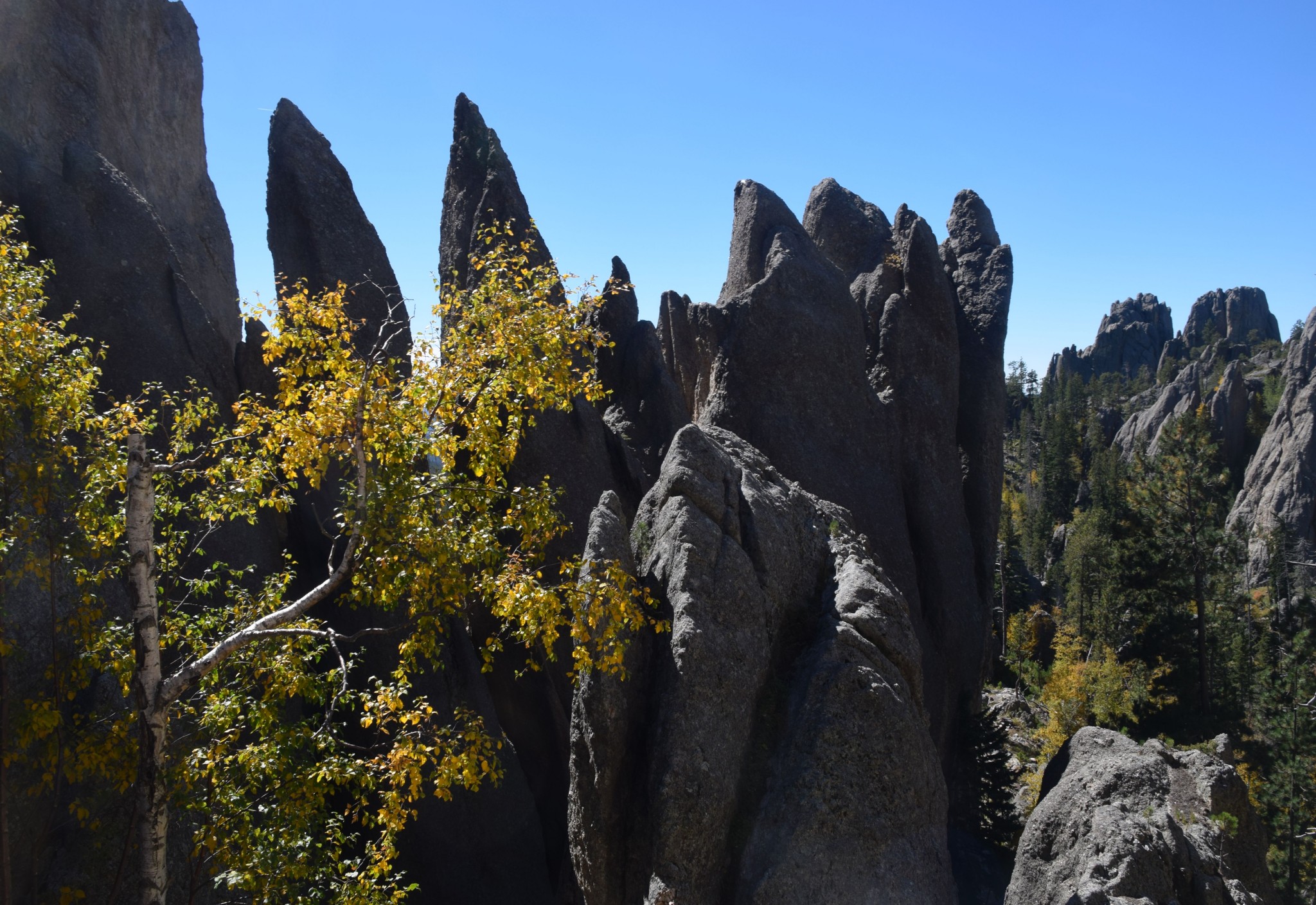
From its beginning at iconic Mt. Rushmore, the route winds through forests of pine and aspen, passes the highest peak east of the Rockies, and gets you up close and personal with spectacular rock formations. Most of the route is within 71,000-acre Custer State Park. For a good preview of the park, watch this professionally produced YouTube video: www.youtube.com/watch?v=UVf_Y0wj4hk.
Tunnels: tight squeezes
Although it isn’t particularly steep, the byway is narrow and twisting. That makes it great for motorcycles, but not for RVs. There are six tunnels, the smallest of which is 9 feet wide and 12 feet high. Motorhomes, trailers and most campers can’t fit.
The road is seasonal, closing from early November until late April. Custer State Park charges an entrance fee of $20 for passenger cars and $10 for motorcycles. Have a National Park Service senior pass? Since this is a state-owned park, your pass won’t work here.
Speaking of motorcycles, you should be aware that this year’s Sturgis Motorcycle Rally will be held August 4-13. All hotels and campgrounds within a hour’s ride of Sturgis will be full. If you enjoy being part of a horde of bikers, that’s a great time to visit. If not, I recommend you visit before or after the rally.
Getting started
Okay, let’s get started. Mile Zero is the entrance to Mt. Rushmore National Memorial. Be sure to reset your trip odometer here. Most people arrive from Rapid City on I-90. Simply take US 16 south 20 miles or so, and follow the signs onto SR 244.
By the way, a couple of the outside links included in the text below don’t appear “live” when I preview the post. Please paste them into your browser.
Want to visit Mt. Rushmore? There’s no entrance fee, but it’ll cost you $11 to park. If you’d like to avoid that charge, there’s a turnout on your right about ½ mile before the entrance. The view is excellent, and you’ll miss the mobs of people who visit the memorial. If you want to visit Mt. Rushmore and are willing to cough up the parking fee, you can visit the memorial’s web site at www.nps.gov/moru
Mile-by-mile byway guide
Mile 0. Mt. Rushmore entrance. Continue west on SR 244.
Mile 0.6: On the left is a parking area. On the right is a very cool profile view of George Washington
Mile 2.9: U.S. Forest Service Campground on left
Mile 8.8: Junction with US 16/385. Turn left.
Mile 9.0: Turn left onto SR 87. This is the Needles Highway portion of the route.
Mile 14.8: Junction with SR 89 to Custer. Continue on SR 87.
Mile 16.2: Custer State Park entrance station. This is where you pay your $20. entrance fee.
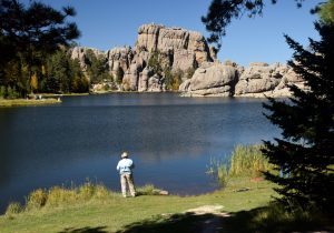
Mile 16.5: Side road to pretty Sylvan Lake. This is a popular stopover, offering fishing, hiking, a day lodge and a campground (almost always full). On a weekday in mid-September, I found the parking area jammed with cars. Beyond the Sylvan Lake turnoff, you enter the heart of the Needles country.
Mile 17.9: Needles Eye Tunnel, which is barely wide enough for one car. Just before the tunnel is a viewpoint with a great view of the Needles.
Mile 23.3: Picnic area with restrooms on the right.
Mile 30.2: End of the Needles Highway. Turn left onto US 16 Alt. to continue on the Norbeck Byway.
Iron Mountain Road section
The Iron Mountain Road section is also narrow and winding. A special feature are the “pigtail” bridges where the road loops over itself to gain or lose elevation.
Mile 35.3: General store and the venerable State Game Lodge on the right. The game lodge was built in 1920 and served as the summer White House for President Calvin Coolidge.
Mile 36.4: Custer State Park visitor center on left. It’s a handsome building with restrooms, helpful rangers and not much in the way of displays or exhibits.
Mile 36.6: Junction with the Wildlife Loop Road. This highly recommended side trip is described below.
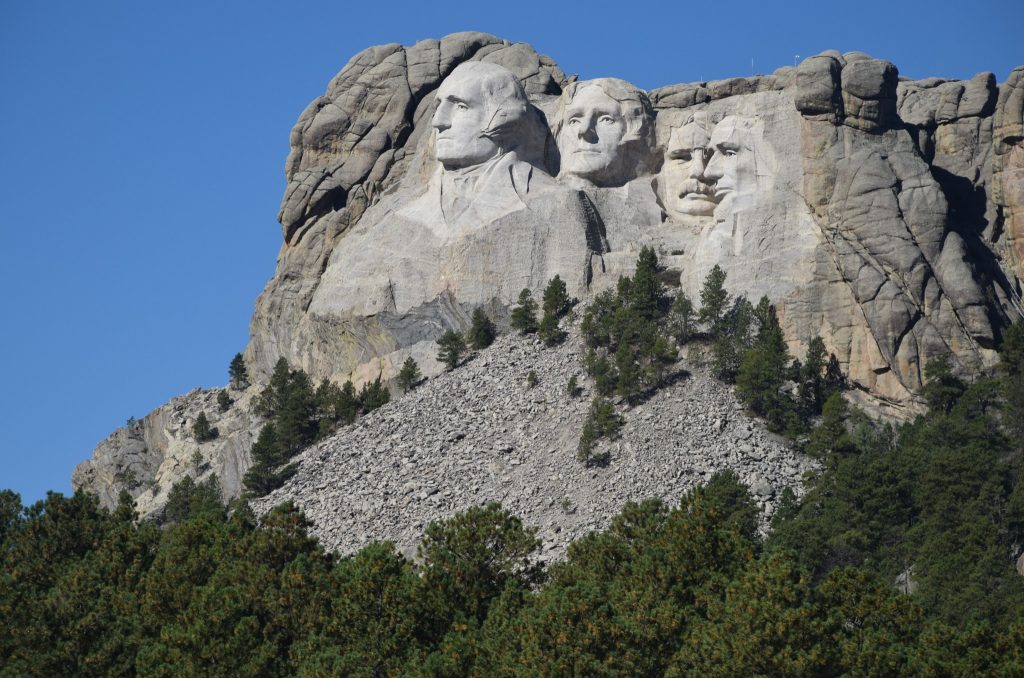
Mile 37.6: Custer State Park entry station. You saved your receipt from earlier, didn’t you? This section of the Norbeck Byway is signed US 16 Alt. and known as the Iron Mountain Road.
Mile 44.3: Turnout on right with a distant view of Mt. Rushmore. You’ll be getting a better view in a few miles.
Mile 51.6: The road goes through a tunnel that was engineered so it frames Mt. Rushmore. There’s a turnout on the right just before the tunnel. The tunnel is narrow, so traffic has to take turns going through. It’s difficult to photograph the sculpture through the tunnel opening, and I failed miserably.
Mile 55.6: Entrance to Mt. Rushmore National Memorial.
Mile 56.6: Junction with SR 244. The entrance to Mt. Rushmore is less than a mile to your left.
Wildlife Loop Road
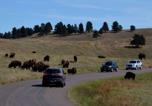
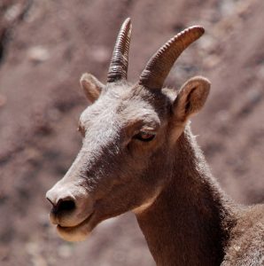
If you’d like to see wildlife, don’t miss Custer State Park’s Wildlife Loop Road! The only places I’ve been that rival it in quantity and proximity of wildlife are Yellowstone National Park (in spring and fall) and the Alaska Highway. It begins at Milepoint 36.6 on the Norbeck Byway. On this 18-mile-long paved road, you might see bison, elk, pronghorn, prairie dogs, bighorn sheep and wild donkeys. Bison sightings are almost guaranteed. I saw all the above species except elk. However, as I was driving, a cougar raced across the road in front of me. No chance for a photo, but it was still a thrill.
There’s a small visitor center at about the halfway point. Rangers there will point out where the bison herds have been spotted. Most of the time, you can’t miss the shaggy beasts; they’re in the middle of the road!
Logistics
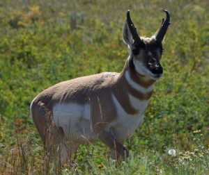
Drive slowly, and stop often. You won’t have the road to yourself. The best chances of seeing wildlife and avoiding other traffic are early and late in the day. Stay in your vehicle for the best photos. When tourists climb out of their vehicles, wildlife almost always moves away. An exception here are the bison, which sometimes hang out in the middle of the road, creating “buffalo jams.”
The Wildlife Loop Road is a bit narrow, but it’s easy to drive – fine for RVs.
The road ends at a junction with SR 89, a few miles south of Custer. To return to the Norbeck Byway, turn right onto US 16Alt. and drive eight miles.
Want to stay overnight? There’s a lot to see and do in the Black Hills, including Wind Cave National Park, Jewel Cave National Monument, the Crazy Horse Memorial and more. You can find lodging in Custer State Park, the town of Custer and the tacky tourist trap town of Keystone. I suggest, however, that you stay in Rapid City, where you’ll find a wide choice of accommodations and services — even a mall. If you’re camping, you’ll find several state park and national forest campgrounds. Custer State Park’s campgrounds can be reserved (recommended). For details, go to www.gfp.sd.gov/state-parks/directory/custer/campgrounds
Thanks for visiting Road Trips with Tom. You’re invited to return on Sunday, February 26, as we visit the Maritime Museum of San Diego.

Outstanding as usual!
Thanks, mi amigo!